[elfsight_social_share_buttons id=”1″]
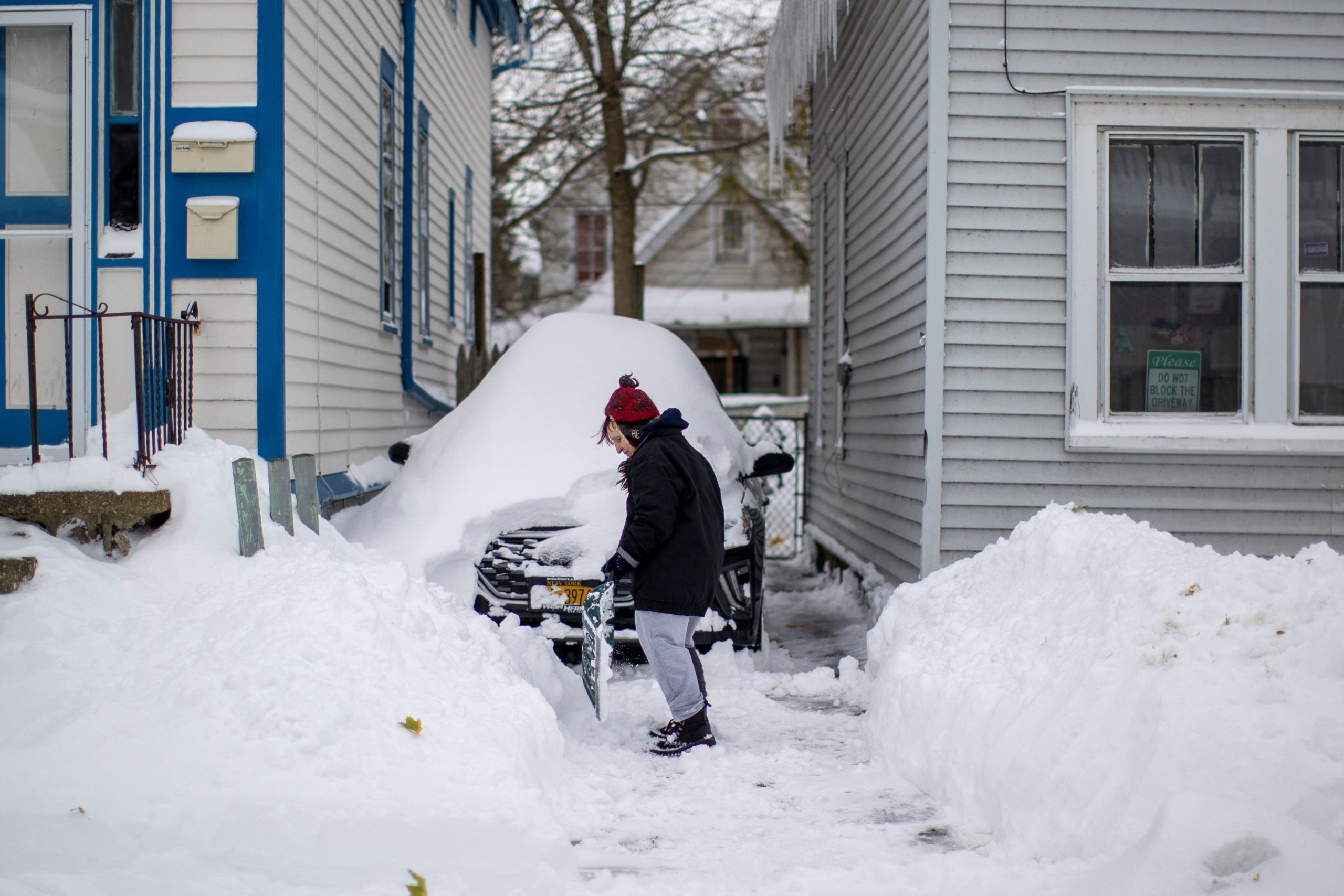
A powerful winter storm system moved across the U.S. Northwest, Plains, and Southwest on Monday, bringing frigid temperatures, blizzard-like conditions, and freezing rains that threatened to snarl traffic and cause power outages.
The storm threatened to wreak havoc for millions of people, from Idaho to Wisconsin and as far south as Arizona and New Mexico until Thursday as it slowly crawls east, the National Weather Service (NWS) warned.
“This developing storm system will lead to numerous, widespread, and impactful weather hazards in the heart of the country this week,” the NWS said.
Blizzard warnings were in effect for parts of Wyoming, Montana, South Dakota, and Nebraska where as much as two feet of snow and gusting winds of up to 60 miles an hour were in the forecast, the NWS said.
“Get your shovels handy, get your groceries, and check other needed supplies. The roads will be hard to travel,” emergency management officials in Pennington County, South Dakota said in a Tweet, noting that the area was expecting at least six inches of snow.
The snow and winds were expected to cause white-out conditions on roadways, making driving treacherous or even impossible for motorists, the NWS warned.
Several school districts in Idaho, South Dakota, and Nebraska delayed the start of classes or canceled them altogether on Monday due to weather.
Storms were also expected in Minnesota and Wisconsin, where a mix of snow and ice along with fierce winds were in the forecast.
Some parts of the area will see freezing rains that will produce ice accumulations of up to half an inch. The ice could down trees and power lines, causing possible power outages, the NWS said.
On top of the snow and winds, temperatures across the area could drop as low as -20 Fahrenheit, a level that causes frostbite on exposed skin in as little as 30 minutes.
To the south, parts of Arizona and New Mexico could see strong wind gusts and steady snow in higher elevations, the service said.
Copyright 2022 Thomson/Reuters
