[elfsight_social_share_buttons id=”1″]
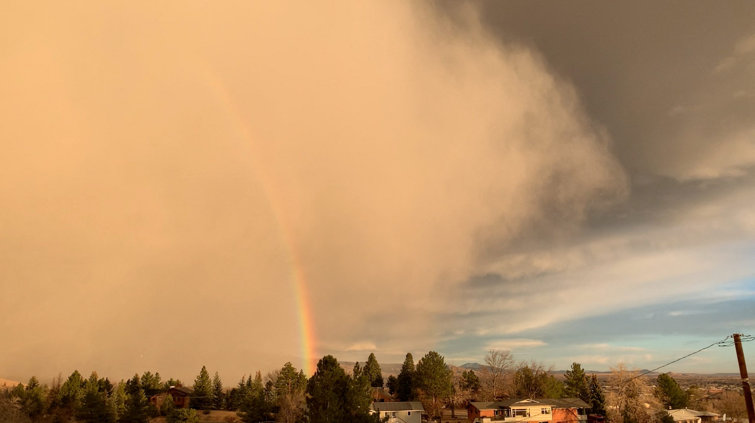
Less than a week after a swarm of powerful tornadoes devastated Kentucky and four other states, a freakish wind storm brought “Dust Bowl” conditions and gusts of more than 100 mph (161 kph) to parts of the Great Plains and Upper Midwest, meteorologists said on Wednesday.
The low pressure wind system, driven by unseasonably high temperatures across Nebraska, Iowa and Minnesota, triggered power outages in four U.S. states, including more than 100,000 homes and businesses in Colorado by Wednesday evening.
The storm system could also pummel the region with thunderstorms and snow, the National Weather Service said in an advisory.
“There have been historic ‘Dust Bowl’ conditions with no visibility in parts of New Mexico and Colorado,” said Marc Chenard, a forecaster for the National Weather Service’s Weather Prediction Center in College Park, Maryland.
“This is highly unusual,” Chenard said. “It’s shifting east and is unusual for this large of an area, it will be going through the Great Lakes area, Michigan and into Canada by Thursday morning,” he said.
The Dust Bowl refers to a period during the 1930s when severe drought and destructive agricultural practices disrupted the ecology of parts of U.S. and Canadian prairies. During that time, immense clouds of loosened topsoil regularly blanketed the region, leading to an economic crisis for farmers and mass migration to California.
The wind storm follows one of the deadliest tornado outbreaks in U.S. history. At least 74 people were killed in Kentucky and 14 died in other states when that storm system swept across the Great Plains and parts of the South last Friday night and early Saturday morning.
President Joe Biden toured some of the devastated communities on Wednesday.
The National Weather Service said in its forecast that the high winds from the current system would pick up overnight on Wednesday and race across the Upper Midwest into Canada by Thursday.
“As a result, blowing dust and power outages will likely be found throughout the region,” the weather service said. “Extremely Critical Fire Weather also exists into this evening from the northern Texas Panhandle to north-central Kansas.”
The NWS Storm Prediction Center issued a “moderate risk” warning for the region and said blowing snow could create driving hazards across Minnesota and the Dakotas.
(Reporting by Rich McKay in Atlanta and Dan Whitcomb in Los Angeles; Editing by Stephen Coates and Christian Schmollinger)
Copyright 2021 Thomson/Reuters
