[elfsight_social_share_buttons id=”1″]
Millions of Californians were under threat on Thursday from an approaching storm that could trigger intense downpours and widespread flooding in many parts of the state, including in some mountainous areas already buried under a near-record snowfall.
After weeks of unusually bad weather on the West Coast, the storm known as an atmospheric river could dump as much as 3 inches of rain in the San Francisco Bay area and across the Central Coast from Thursday through the weekend, the National Weather Service (NWS) said in its forecast.
Hilly inland areas and some coastal ranges inundated by snow in recent weeks could get 6 inches of rain. Some 8 inches was expected in the Santa Cruz Mountains, south of San Jose, and up to 10 inches in the Santa Lucia Mountains, along the coast near Big Sur, the service added.
“Most of the flooding concerns are for the lower-lying areas susceptible to rapid river and stream rises,” NWS Weather Prediction Center meteorologist William Churchill said. “It’s really a combination of all this heavy rainfall coming and also rapidly melting snow.”
Atmospheric river storms such as the one in the forecast are akin to rivers in the sky that dump massive amounts of rain and can cause flooding, trigger mudslides, and result in loss of life and enormous property damage.
The storms make it more difficult to manage California‘s precious water supplies while minimizing the heightened risks of floods and wildfires.
The looming deluge follows a barrage of nine such storms that triggered widespread flooding, mudslides, rockfalls, and sinkholes across California from late December through mid-January. At least 20 deaths were attributed to the earlier storms.
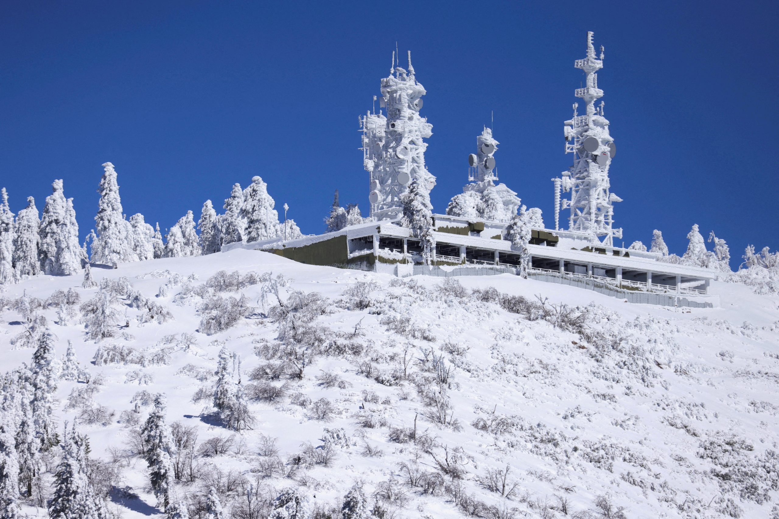
The approaching weather system is relatively warm. It will bring rain and strong winds not only to low-lying parts of northern and central California but to mid-elevation mountain areas still struggling to dig out from back-to-back blizzards that over the last couple of weeks dumped more than 100 inches of snow in some places, forecasters said.
More than 15 million people in the metropolitan areas around San Francisco Bay and Sacramento and in parts of the region were under excessive rainfall and flood advisories from the weather service on Thursday. Some of the watches and warnings in California were to remain in effect until Sunday.
Some waterfront communities along major rivers and their tributaries also braced for the possibility of overflowing streams swollen by heavy showers and runoff of melting snow.
In Tulare County, Sheriff Mike Boudreaux issued an evacuation warning on Wednesday for homes and businesses along a stretch of the Kings River, which drains the Sierra Nevada mountain range, in advance of “this rain-on-snow event.”
Elsewhere, the NWS issued “prepare now” alerts for residents along the Big Sur, Carmel, Salinas, and Pajaro rivers.
Crews were scrambling until the last minute to shore up flood-weakened levees that had been breached along the Cosumnes River south of Sacramento earlier this year during a previous storm, the San Francisco Chronicle reported.
Higher-elevation mountain areas — above about 8,000 feet — were expected to get even more snow, or snow mixed with rain, posing the risk of widespread roof damage to older structures under the mounting weight of frozen precipitation, forecaster Churchill said.
Although damaging, this winter’s storms have eased a historic four-year dry spell in California, replenishing some badly depleted reservoirs and the Sierra snowpack, a critical source of fresh water for the state.
Copyright 2023 Thomson/Reuters
